The sands of time may be slipping away for the crumbling coast of Essex – but not if QE’s A-level geographers can help it!
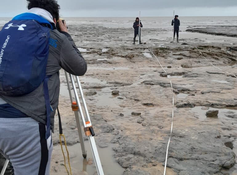
 Braving a biting chill on the beach, the Sixth Form group investigated not only the threat posed by rapid coastal erosion at Walton-on-the-Naze, but also evaluated steps being taken by the town’s authorities to check it.
Geography teacher Chris Butler said: “Fieldtrips like this are so important in bringing to life what can be rather abstract concepts, such as coastal erosion and management. I was delighted with the boys’ approach across all three days of the trip. They worked extremely hard in challenging conditions and were a credit to the School.”
 Walton has one of the fastest retreating cliff lines in the British Isles: on average, the cliffs are retreating between one and two metres every year. That the cliffs are falling away so rapidly is due largely to their geology.
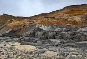
“The fossiliferous clays and sands exposed in the Naze area belong to the London Clay and Red Crag formations, and provide evidence of prehistoric life and conditions 54 million years ago and 2.5 million years ago respectively,” said Mr Butler. “Fossils, such as those of shark teeth and mangroves, occur commonly throughout both, and the area has attracted fossil-hunters since the 19th century.
 “However, the formations unfortunately represent a relatively weak barrier to coastal erosion.”
Local officials have implemented a large number of strategies in a bid to slow the rate of erosion and protect the town and its services.
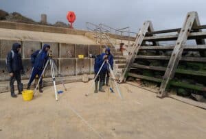
As well as looking into the impact of the erosion on both landforms and the built environment as part of their A-level studies, the boys also investigated the relative success of each management strategy the town had introduced and the impact that these techniques have had on both physical and human environments.
 “Although no fossils were recovered, the fieldtrip was a great success, and despite the weather being bitterly cold, the boys demonstrated admirable fieldwork skills in sampling and collecting their data before analysis back in the classroom,” said Mr Butler.
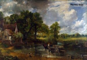
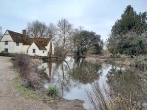
The party stayed just over the Suffolk border in the Field Studies Council’s (FSC) Flatford Mill, which was once owned by John Constable’s family. He immortalised the Mill in his famous painting, The Hay Wain, in 1821.
Mr Butler added: “The boys were complimented on their positive attitudes, outstanding work ethic and manners by FSC staff and teachers from other visiting schools.”
Top to bottom, the pictures show: Year 12’s Sabbir Hossain using a level to chart platform gradient; boys profiling the protected beach and ‘slope toe’ at Walton; Red Crag and London Clay formations; Flatford Mill, as depicted in The Hay Wain, and the mill as it is today.
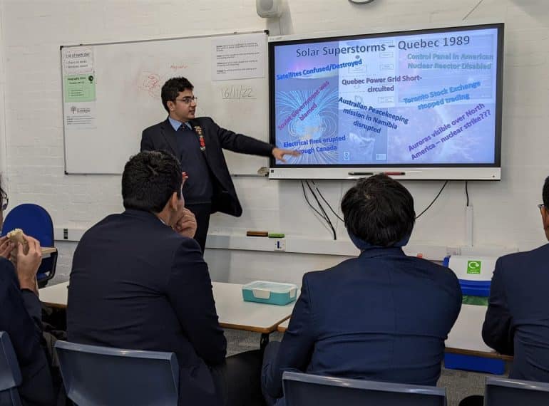
 Among them is Year 11’s Chanakya Seetharam, pictured right, who gave a presentation on Geography through a Marxist lens. He said: “As a keen geographer, I have never been particularly given to the perception of Geography as somehow a ‘soft’ subject. The club provides an indisputably rigorous and academic forum, in which to discuss topical geographical issues.”
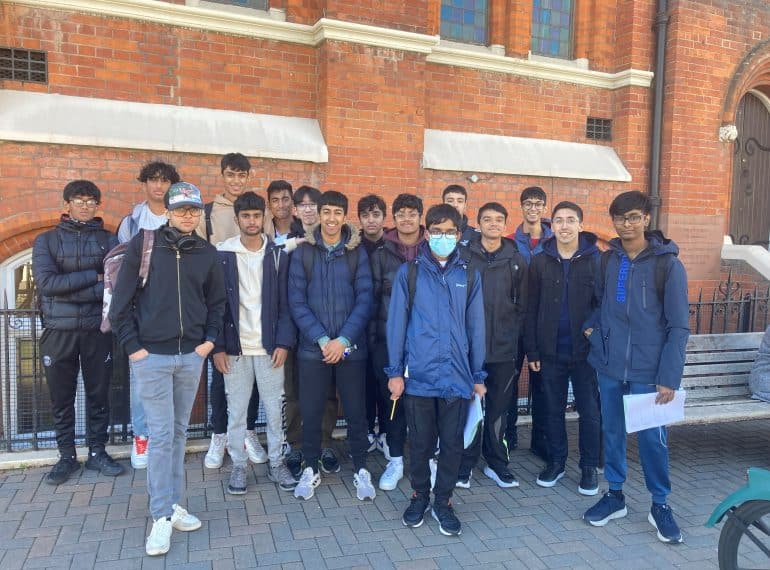
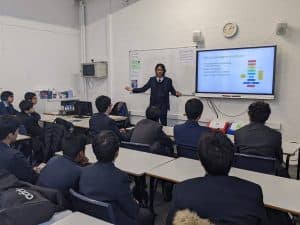
 All Year 12 AS Geography students made the journey to Wandsworth for the human geography fieldtrip. They will be assessed on the fieldwork completed in their AS examinations next summer.
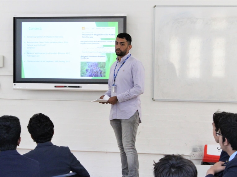
 Sajjad (OE 2009–2016), who graduated in Human Geography from Durham University, highlighted how media portrayals often create negative perceptions of refugees, often showing them either as a threat or as merely passive receivers of aid.
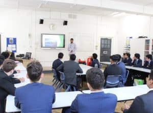 His aim, he said, was to “unveil narratives that are often not shown by the general media”. How refugees are represented is very important, he averred. Sajjad noted that ‘flooding’ metaphors are often used in reference to refugees, implying that they present a problem which is “overwhelming and uncontrollable”.
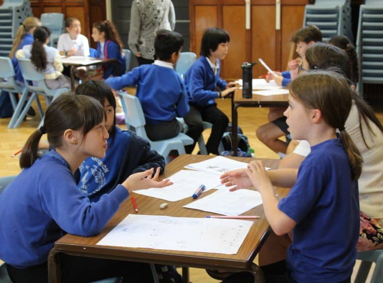
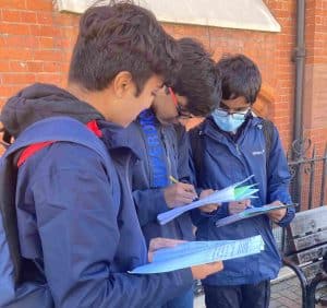
 The events, which are part of QE’s partnerships work with the local community, are aimed at giving Year 5 girls and boys an early taste of secondary school education.
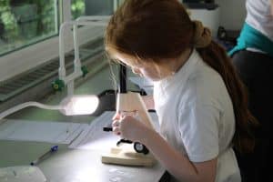
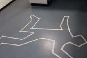 The first of the three days was the ever-popular Primary Forensics Workshop. The visitors were tasked with completing a number of experiments and analyses to work out who had murdered the Headmaster!
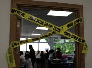 Boys from Year 12 helped staff run this workshop, engaging with the children at each station.
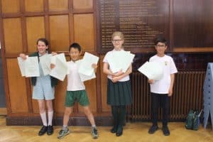 Firstly, teams were given the challenge of designing a castle on paper. They had to base their design on a certain set of criteria and follow a budget, requiring them to decide which features they wanted to prioritise.
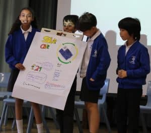 There was then a Sustainability Challenge run jointly by Geography and Economics. The children had to work in groups and devise a sustainable product. They designed their product, chose a logo and decided on their target market. Then each group presented to the other children in attendance. Among the ideas generated were: a mobile phone where the case is a solar panel and charges the phone, and a ‘plastic’ bottle where the bottle itself is biodegradable.
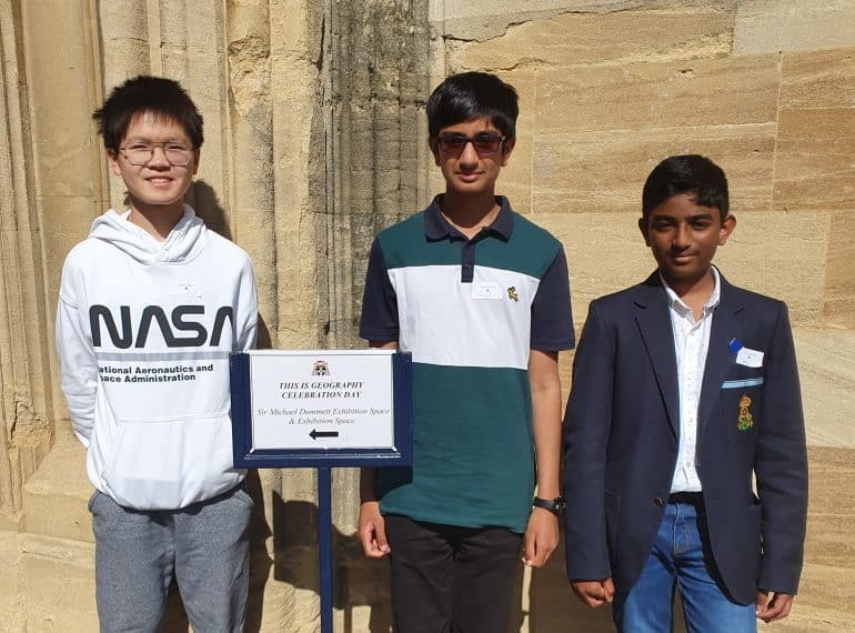
 Zhuoer Chen, of Year 9, and Sarang Nair, of Year 7, were among just ten finalists nationwide.
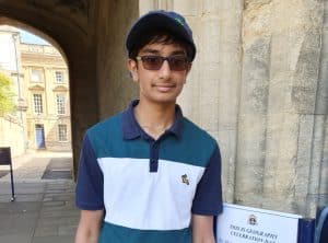 The competition, which is part of Christ Church’s outreach work, was open to all UK state school pupils in Years 7–10. Entrants had to submit a video 2–5 minutes long on a geographical issue or phenomenon that was local to them.
 The video compared average yearly temperatures at Greenwich weather station with those at Calgary and found they were 11.35C higher.